March 11-12, 2017
After a relatively long period of mild weather and rain, this past week showed us that winter is still here. The temperature was for the most part cold, often hitting -20'c with the windchill factor. This did have the benefit of allowing several ski mountains to restart their snowmaking operations, providing a fresh layer of snow and helping ensure they can extend their season into the spring.
The 14 day long range forecast looks fairly promising for spring skiing. No rain is shown in the forecast, and the cold temperatures will end around the coming Friday. Daytime temperatures then will be a few degrees above freezing and at night will be just below. There may also be some snow by next weekend as well.
At the moment, the weekend promises to be sunny with some clouds, and temperatures around the -15 to -20'c. Bundle up, it's still cold but will most likely be one of the last cold ones for the season.
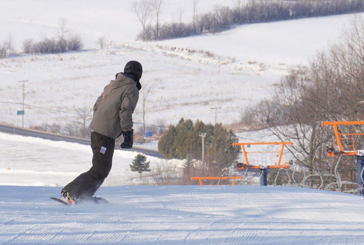
The majority of ski mountains are fully open, with their groomed trails, although you should expect the gladed areas to be hard and icy, due to the loss of natural snow. As always, the best recommendation is to get out early to take advantage of the perfectly groomed slopes before they get skied out.
The main takeaway, while the snowpack in the city has significantly gone down, the ski mountains are holding their own very nicely. There is no better time to get out on the slopes than now.
Have a great weekend and happy skiing!